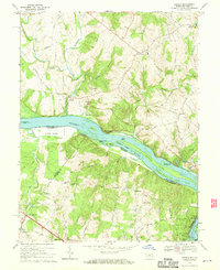
1968 Map of Seneca
USGS Topo · Published 1970About this map
The Potomac River corridor serves as the central artery for this 1968 landscape, marking the historic boundary between Maryland and Virginia. Along its northern bank, the Chesapeake and Ohio Canal Towpath winds past numerous river islands, including the sprawling Watkins Island and Clagett Island. The settlement pattern reflects the area's transition from agricultural roots to early suburban development, centered around crossroads like Darnestown, Seneca, and Quince Orchard.
Find a feature on this map
59 named features on this map. Tap any name to fly to it.
Don’t see what you’re looking for? This feature index may not catch every label — zoom into the map to look around manually.
Map Details
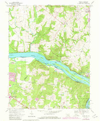
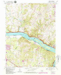
Editions of this 1968 Seneca Map
4 editions found

Other maps of this area

1890 · Mt. Vernon
USGS Topo · 1:125,000

1891 · Mt. Vernon
USGS Topo · 1:125,000

1893 · Frederick
USGS Topo · 1:125,000

1894 · Frederick
USGS Topo · 1:125,000

1894 · Mt. Vernon
USGS Topo · 1:125,000

1897 · Mt. Vernon
USGS Topo · 1:125,000

1900 · Washington
USGS Topo · 1:62,500

1908 · Rockville
USGS Topo · 1:62,500

1908 · Seneca
USGS Topo · 1:62,500

1915 · Fairfax
USGS Topo · 1:62,500