
1968 Map of Seneca
USGS Topo · Published 1984About this map
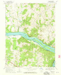
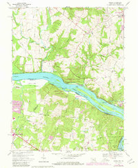
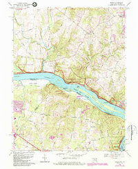
The Potomac River serves as the central artery of this 1968 landscape, dividing the rolling terrain of Montgomery County, Maryland, from the northern reaches of Fairfax and Loudoun Counties in Virginia. The river is punctuated by numerous named landforms including Watkins Island, Clagett Island, and Sharpshin I, revealing the complex hydrology of the Piedmont region before modern suburban expansion fully gripped the corridor. Historic road networks like River Road and Georgetown Pike connect rural clusters such as Darnestown and Seneca, where a Mill and Quarry indicate the area's early industrial and agricultural foundations. Local heritage is deeply embedded in the survey, from the Dranesville Tavern Park to scattered country congregations like Smiths Chapel and Poplar Grove Ch. The map captures the area just as the 1980s revisions began to note a changing landscape, including the Filtration Plant near Watts Branch.
Find a feature on this map
65 named features on this map. Tap any name to fly to it.
Don’t see what you’re looking for? This feature index may not catch every label — zoom into the map to look around manually.
Map Details
Editions of this 1968 Seneca Map
4 editions found
Other maps of this area

1890 · Mt. Vernon
USGS Topo · 1:125,000

1891 · Mt. Vernon
USGS Topo · 1:125,000

1893 · Frederick
USGS Topo · 1:125,000

1894 · Frederick
USGS Topo · 1:125,000

1894 · Mt. Vernon
USGS Topo · 1:125,000

1897 · Mt. Vernon
USGS Topo · 1:125,000

1900 · Washington
USGS Topo · 1:62,500

1908 · Rockville
USGS Topo · 1:62,500

1908 · Seneca
USGS Topo · 1:62,500

1915 · Fairfax
USGS Topo · 1:62,500