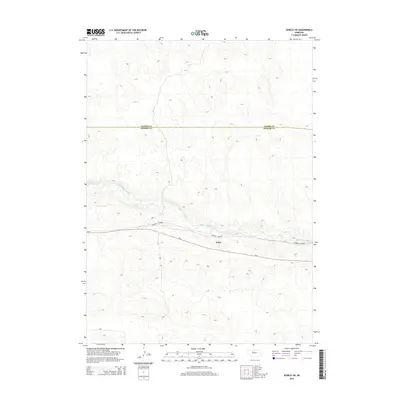
2014 Map of Seneca SW
USGS Topo · Published 2014About this map
The Middle Loup River winds through the heart of the Nebraska Sandhills in this 2014 survey, providing a critical ribbon of water across the undulating terrain of Hooker County and Cherry County. The small settlement of Kelso serves as a primary point of interest, situated along the southern bank of the river where the landscape begins its rise toward the surrounding hills. This area is defined by its isolation and the significant transit corridors that cross the prairie. Parallel routes Ne-2 and the Sandhills Journey cut through the central portion of the quadrangle, following the river valley to facilitate travel through this sparsely populated ranching country. The map captures the subtle relationship between the sparse human footprints and the dominant natural drainage patterns of the river system.
Find a feature on this map
5 named features on this map. Tap any name to fly to it.
Don’t see what you’re looking for? This feature index may not catch every label — zoom into the map to look around manually.
Map Details
Editions of this 2014 Seneca SW Map
This is the sole edition of this map. No revisions or reprints were ever made.
Other maps of this area

1947 · Dismal River Ranch
USGS Topo · 1:62,500

1948 · Seneca
USGS Topo · 1:62,500

1948 · Mullen
USGS Topo · 1:62,500

1949 · Dismal River Ranch
USGS Topo · 1:62,500

1950 · Shimmins Lake
USGS Topo · 1:62,500

1951 · Mullen
USGS Topo · 1:62,500

1951 · Seneca
USGS Topo · 1:62,500

1954 · North Platte
USGS Topo · 1:250,000

1956 · North Platte
USGS Topo · 1:250,000

1957 · North Platte
USGS Topo · 1:250,000