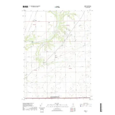
2018 Map of Serena
USGS Topo · Published 2018About this map
The Fox River cuts a winding path through this portion of LaSalle County, carving deep valleys and defining the landscape around Serena and Norway. The river’s influence is evident in the concentration of historical burial sites along its banks and bluffs, including the Fox River Cem, Norway Cem, and Nelson Cem. These small, family-named plots, such as the David Strawn Cem and Olson Cem, provide significant markers for genealogical research in this rural corridor.
Find a feature on this map
58 named features on this map. Tap any name to fly to it.
Don’t see what you’re looking for? This feature index may not catch every label — zoom into the map to look around manually.
Map Details
Editions of this 2018 Serena Map
This is the sole edition of this map. No revisions or reprints were ever made.
Other maps of this area

1892 · Marseilles
USGS Topo · 1:62,500

1892 · Ottawa
USGS Topo · 1:62,500

1915 · Ottawa
USGS Topo · 1:62,500

1916 · Marseilles
USGS Topo · 1:62,500

1940 · Marseilles
USGS Topo · 1:62,500

1946 · Ottawa
USGS Topo · 1:62,500

1948 · Sandwich
USGS Topo · 1:62,500

1950 · Sandwich
USGS Topo · 1:62,500

1951 · Earlville
USGS Topo · 1:62,500

1958 · Aurora
USGS Topo · 1:250,000