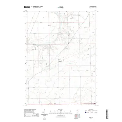
2021 Map of Serena
USGS Topo · Published 2021About this map
Serena and Norway anchor this portion of LaSalle County, situated within a landscape defined by the winding course of the Fox River. The area is notably dense with small, family-named burial grounds and community landmarks that offer significant value for genealogical research. Sites such as Spradling Cem, Osmundson Cem, and David Strawn Cem are scattered throughout the township blocks, indicating the deep roots of early settling families. The terrain includes natural features like Indian Island and Lake Herman, while numerous watercourses including Mission Cr, Brumbach Cr, and Nettle Cr drain the surrounding agricultural lands. This survey reflects a modern view of the rural road network, where historical locations like Danway persist alongside newer recreation spots like Friends Field.
Find a feature on this map
53 named features on this map. Tap any name to fly to it.
Don’t see what you’re looking for? This feature index may not catch every label — zoom into the map to look around manually.
Map Details
Editions of this 2021 Serena Map
This is the sole edition of this map. No revisions or reprints were ever made.
Other maps of this area

1892 · Marseilles
USGS Topo · 1:62,500

1892 · Ottawa
USGS Topo · 1:62,500

1915 · Ottawa
USGS Topo · 1:62,500

1916 · Marseilles
USGS Topo · 1:62,500

1940 · Marseilles
USGS Topo · 1:62,500

1946 · Ottawa
USGS Topo · 1:62,500

1948 · Sandwich
USGS Topo · 1:62,500

1950 · Sandwich
USGS Topo · 1:62,500

1951 · Earlville
USGS Topo · 1:62,500

1958 · Aurora
USGS Topo · 1:250,000