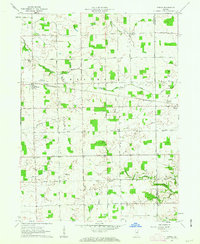
1961 Map of Servia
USGS Topo · Published 1963About this map
Servia and Bippus anchor this Indiana landscape along the Wabash and Huntington county line during the early 1960s. The Erie-Lackawanna railroad cuts a straight path across the terrain, serving as a primary corridor through Chester and Warren townships. This agricultural region is defined by a dense network of numbered section roads, including 1000 North Road and 500 North Road, which connect rural households to local landmarks.
Find a feature on this map
44 named features on this map. Tap any name to fly to it.
Don’t see what you’re looking for? This feature index may not catch every label — zoom into the map to look around manually.
Map Details
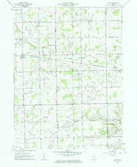
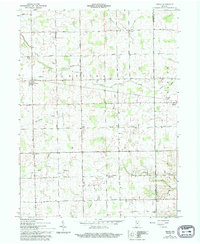
Editions of this 1961 Servia Map
3 editions found
Other maps of this area

1950 · Lagro
USGS Topo · 1:24,000

1950 · Andrews
USGS Topo · 1:24,000

1951 · Andrews
USGS Topo · 1:24,000

1951 · Lagro
USGS Topo · 1:24,000

1952 · Wabash
USGS Topo · 1:24,000

1953 · Fort Wayne
USGS Topo · 1:250,000

1953 · Muncie
USGS Topo · 1:250,000

1955 · Bippus
USGS Topo · 1:24,000

1956 · Muncie
USGS Topo · 1:250,000

1956 · Fort Wayne
USGS Topo · 1:250,000