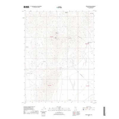
2018 Map of Seven Troughs
USGS Topo · Published 2018About this map
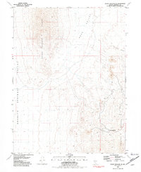
Seven Troughs Mtn and the surrounding Seven Troughs Range dominate this Nevada landscape, where high peaks and deep incisions define the Great Basin terrain. The map records a network of drainage systems and isolated water sources, such as Willow Spring in the north and Porter Spring to the west, which were historically vital in this arid environment. Elevation reaches a literal high point at Signal Peak, overlooking the transition from mountainous high ground into the broad expanse of Sage Valley.
Find a feature on this map
17 named features on this map. Tap any name to fly to it.
Don’t see what you’re looking for? This feature index may not catch every label — zoom into the map to look around manually.
Map Details
Editions of this 2018 Seven Troughs Map
This is the sole edition of this map. No revisions or reprints were ever made.
Other maps of this area

1931 · Lovelock
USGS Topo · 1:250,000

1935 · Lovelock
USGS Topo · 1:250,000

1955 · Lovelock
USGS Topo · 1:250,000

1959 · Lovelock
USGS Topo · 1:250,000

1981 · Bluewing Flat North
USGS Topo · 1:24,000
1981 · Dead Horse Canyon
USGS Topo · 1:24,000
1981 · Seven Troughs
USGS Topo · 1:24,000

1981 · Trinity Pass
USGS Topo · 1:24,000
1981 · Trinity Pass NW
USGS Topo · 1:24,000
1981 · Seven Troughs SE
USGS Topo · 1:24,000