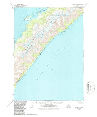
1951 Map of Seward A-1
USGS Topo · Published 1987About this map
Montague Island dominates this 1951 topographic study, its rugged interior defined by high elevations like Montague Peak and the southern stretch of the Chugach National Forest. The coastal environment is marked by significant geological and navigational markers, from the Purple Bluff in the southwest to the sheltered waters of Port Chalmers and Wilby Island in the north. Settlement is sparse in this era, noted primarily by Lagoon Cabins tucked along the western shoreline.
Find a feature on this map
9 named features on this map. Tap any name to fly to it.
Don’t see what you’re looking for? This feature index may not catch every label — zoom into the map to look around manually.
Map Details
Editions of this 1951 Seward A-1 Map
4 editions found

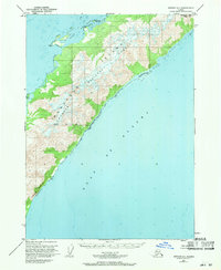
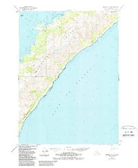
Other maps of this area

1946 · Blying Sound
USGS Topo · 1:250,000

1948 · Cordova
USGS Topo · 1:250,000

1948 · Middleton Island
USGS Topo · 1:250,000

1950 · Middleton Island
USGS Topo · 1:250,000

1951 · Blying Sound
USGS Topo · 1:250,000

1951 · Seward
USGS Topo · 1:250,000

1951 · Cordova
USGS Topo · 1:250,000

1951 · Seward B-1
USGS Topo · 1:63,360

1951 · Seward A-2
USGS Topo · 1:63,360

1951 · Blying Sound D-1 and D-2
USGS Topo · 1:63,360