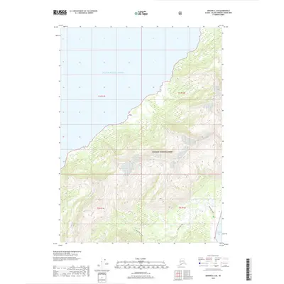
2018 Map of Seward A-2 SE
USGS Topo · Published 2018About this map
Prince William Sound dominates the northern and western reaches of this coastal survey, where the marine environment meets the steep, timbered slopes of the Chugach National Forest. The map documents a landscape defined by sharp elevation changes, rising rapidly from the shoreline into high ridgelines that separate the sound from the Gulf of Alaska to the southeast. In the southern portion of the quadrangle, the Beach River Trail provides a documented route through the lower terrain near the coast, indicating the primary method of overland movement in this isolated region. The lack of modern road infrastructure underscores the wilderness character of the area, where travel remains tied to the sea or established backcountry paths through the forest and along the river drainages.
Find a feature on this map
8 named features on this map. Tap any name to fly to it.
Don’t see what you’re looking for? This feature index may not catch every label — zoom into the map to look around manually.
Map Details
Editions of this 2018 Seward A-2 SE Map
This is the sole edition of this map. No revisions or reprints were ever made.
Other maps of this area

1946 · Blying Sound
USGS Topo · 1:250,000

1951 · Blying Sound
USGS Topo · 1:250,000

1951 · Seward
USGS Topo · 1:250,000

1951 · Seward A-2
USGS Topo · 1:63,360

1951 · Blying Sound D-1 and D-2
USGS Topo · 1:63,360

1951 · Seward A-1
USGS Topo · 1:63,360

1953 · Seward A-2
USGS Topo · 1:63,360

1953 · Seward A-1
USGS Topo · 1:63,360
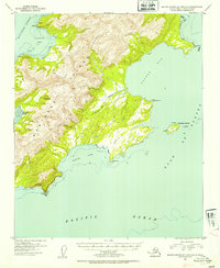
1953 · Blying Sound D-1 and D-2
USGS Topo · 1:63,360

1953 · Blying Sound
USGS Topo · 1:250,000