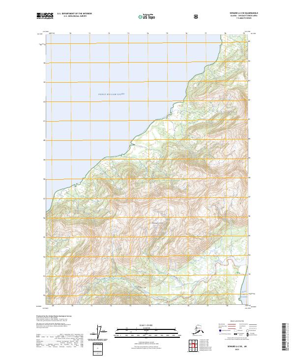
2023 Map of Seward A-2 SE
USGS Topo · Published 2023About this map
Montague Island is the central focus of this coastal study, situated at the meeting point of Prince William Sound and the Gulf of Alaska. Managed as part of the Chugach National Forest, the landscape is dominated by steep coastal terrain and significant elevation changes. The inland area is defined by the drainage of Beach River, which flows toward the southeastern shore. For those navigating the backcountry, the Beach River Trl provides a marked route following the waterway's course through the island's interior. The map also delineates the Public Land Survey System grid, including township markers for t1s r11e and t2s r12e, reflecting the modern administrative boundaries within this remote section of the Chugach region.
Find a feature on this map
11 named features on this map. Tap any name to fly to it.
Don’t see what you’re looking for? This feature index may not catch every label — zoom into the map to look around manually.
Map Details
Editions of this 2023 Seward A-2 SE Map
This is the sole edition of this map. No revisions or reprints were ever made.
Other maps of this area

1946 · Blying Sound
USGS Topo · 1:250,000

1951 · Blying Sound
USGS Topo · 1:250,000

1951 · Seward
USGS Topo · 1:250,000

1951 · Seward A-2
USGS Topo · 1:63,360

1951 · Blying Sound D-1 and D-2
USGS Topo · 1:63,360

1951 · Seward A-1
USGS Topo · 1:63,360

1953 · Seward A-2
USGS Topo · 1:63,360

1953 · Seward A-1
USGS Topo · 1:63,360
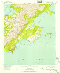
1953 · Blying Sound D-1 and D-2
USGS Topo · 1:63,360

1953 · Blying Sound
USGS Topo · 1:250,000