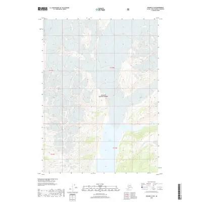
2018 Map of Seward A-5 SW
USGS Topo · Published 2018About this map
Big Johnstone Lake and Excelsior Lake sit at the center of this remote topographic study within the Chugach National Forest. The landscape is dominated by high-elevation terrain and glacial features, characteristic of the southern Kenai Peninsula’s coastal interior. This 2018 survey serves as a detailed record of the drainage patterns and hydrologic boundaries within the t1s r4e and t2s r4e townships. The map illustrates the pristine state of these water bodies before any significant development, providing researchers with a baseline for natural change in a protected wilderness area managed by the U.S. Forest Service.
Find a feature on this map
7 named features on this map. Tap any name to fly to it.
Don’t see what you’re looking for? This feature index may not catch every label — zoom into the map to look around manually.
Map Details
Editions of this 2018 Seward A-5 SW Map
This is the sole edition of this map. No revisions or reprints were ever made.
Other maps of this area

1946 · Blying Sound
USGS Topo · 1:250,000

1950 · Seward A-6
USGS Topo · 1:63,360

1950 · Blying Sound D-6
USGS Topo · 1:63,360

1950 · Blying Sound D-5
USGS Topo · 1:63,360

1951 · Blying Sound
USGS Topo · 1:250,000

1951 · Seward
USGS Topo · 1:250,000

1951 · Seward A-6
USGS Topo · 1:63,360

1951 · Seward A-5
USGS Topo · 1:63,360

1952 · Seward A-5
USGS Topo · 1:63,360
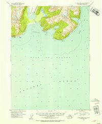
1952 · Blying Sound D-5
USGS Topo · 1:63,360