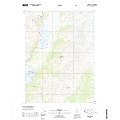
2017 Map of Seward A-6 SE
USGS Topo · Published 2017About this map
Excelsior Glacier dominates the northeastern terrain of this coastal quadrangle, its massive ice field feeding into the surrounding river systems. The landscape transitions sharply from the high glaciated peaks of the Chugach National Forest down to the fractured coastline of the Pacific Ocean. This interface of ice and sea is protected within the Alaska Maritime National Wildlife Refuge, where the shoreline is punctuated by sheltered inlets like Resolute Cove. The map illustrates a wilderness shaped by active glaciation, with no roads or permanent settlements present, only the raw contours of a remote maritime forest ecosystem. Geographers can study the precise drainage patterns and ice-marginal features recorded during this specific period of the early 21st century.
Find a feature on this map
9 named features on this map. Tap any name to fly to it.
Don’t see what you’re looking for? This feature index may not catch every label — zoom into the map to look around manually.
Map Details
Editions of this 2017 Seward A-6 SE Map
This is the sole edition of this map. No revisions or reprints were ever made.
Other maps of this area

1946 · Blying Sound
USGS Topo · 1:250,000

1950 · Seward A-6
USGS Topo · 1:63,360

1950 · Blying Sound D-6
USGS Topo · 1:63,360

1950 · Blying Sound D-5
USGS Topo · 1:63,360

1951 · Blying Sound
USGS Topo · 1:250,000

1951 · Seward
USGS Topo · 1:250,000

1951 · Seward A-6
USGS Topo · 1:63,360

1951 · Seward A-5
USGS Topo · 1:63,360

1952 · Seward A-5
USGS Topo · 1:63,360
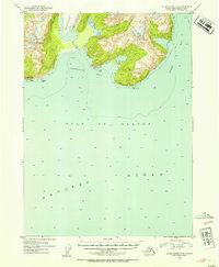
1952 · Blying Sound D-5
USGS Topo · 1:63,360