
1951 Map of Seward A-7
USGS Topo · Published 1954About this map
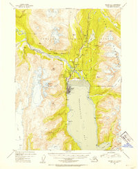
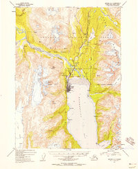
Seward sits at the head of Resurrection Bay, serving as a critical maritime and rail gateway in the early 1950s. The town's infrastructure reflects its strategic role, featuring an Army Dock, City Dock, and a prominent Radio Tower. The Alaska Railroad terminates here, threading northward past Woodrow alongside the Anchorage Seward Highway toward the mountains. Industry is represented by several Sawmill and Gravel Pit operations situated near the confluence of the Resurrection River and Salmon Creek.
Find a feature on this map
61 named features on this map. Tap any name to fly to it.
Don’t see what you’re looking for? This feature index may not catch every label — zoom into the map to look around manually.
Map Details
Editions of this 1951 Seward A-7 Map
4 editions found
Other maps of this area

1946 · Blying Sound
USGS Topo · 1:250,000

1950 · Seward A-6
USGS Topo · 1:63,360

1950 · Seward A-8
USGS Topo · 1:63,360

1950 · Blying Sound D-7
USGS Topo · 1:63,360

1950 · Blying Sound D-6
USGS Topo · 1:63,360

1950 · Seward A-7
USGS Topo · 1:63,360

1951 · Blying Sound
USGS Topo · 1:250,000

1951 · Seward
USGS Topo · 1:250,000

1951 · Seward A-6
USGS Topo · 1:63,360

1951 · Seward B-7
USGS Topo · 1:63,360