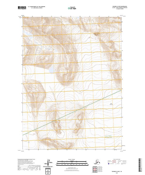
2023 Map of Seward A-8 NW
USGS Topo · Published 2023About this map
Skilak Glacier marks the southwestern corner of this high-elevation Alaskan landscape, where the ice meets the complex protected boundaries of the Kenai Peninsula. This area is defined by the intersection of three major conservation units: the Kenai Wilderness (Andrew Simons Unit), the Kenai National Wildlife Refuge, and Kenai Fjords National Park. The topography shown here is primarily interior wilderness, characterized by steep elevation changes and the administrative grid of townships like t2n r4w and t1n r3w. For researchers, the map clarifies the precise land-management divisions between these federal preserves during the early 2020s, documenting the untouched terrain of the peninsula's glaciated interior.
Find a feature on this map
10 named features on this map. Tap any name to fly to it.
Don’t see what you’re looking for? This feature index may not catch every label — zoom into the map to look around manually.
Map Details
Editions of this 2023 Seward A-8 NW Map
This is the sole edition of this map. No revisions or reprints were ever made.
Other maps of this area

1944 · Kenai
USGS Topo · 1:250,000

1950 · Kenai
USGS Topo · 1:250,000

1950 · Kenai B-1
USGS Topo · 1:63,360

1950 · Seward A-8
USGS Topo · 1:63,360

1951 · Seward
USGS Topo · 1:250,000

1951 · Kenai A-1
USGS Topo · 1:63,360

1951 · Seward B-8
USGS Topo · 1:63,360

1951 · Seward A-8
USGS Topo · 1:63,360
1952 · Seward A-8
USGS Topo · 1:63,360

1952 · Kenai A-1
USGS Topo · 1:63,360