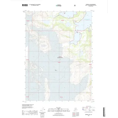
2018 Map of Seward B-4 NW
USGS Topo · Published 2018About this map
The Kenai Peninsula coastline meets the cold reaches of Prince William Sound in this 2018 topographic study. The landscape is defined by the massive movement of ice and water, where the Blackstone Glacier and the Deep Water-Contact Glacier carve through the high elevations of the Chugach National Forest. These glacial features descend toward the marine environment of Derickson Bay, illustrating the dramatic transition from alpine ice fields to the protected inlets of the sound.
Find a feature on this map
14 named features on this map. Tap any name to fly to it.
Don’t see what you’re looking for? This feature index may not catch every label — zoom into the map to look around manually.
Map Details
Editions of this 2018 Seward B-4 NW Map
This is the sole edition of this map. No revisions or reprints were ever made.
Other maps of this area

1951 · Seward
USGS Topo · 1:250,000

1951 · Seward B-4
USGS Topo · 1:63,360

1951 · Seward C-5
USGS Topo · 1:63,360

1951 · Seward B-5
USGS Topo · 1:63,360

1951 · Seward C-4
USGS Topo · 1:63,360

1952 · Seward B-4
USGS Topo · 1:63,360

1952 · Seward C-5
USGS Topo · 1:63,360

1952 · Seward B-5
USGS Topo · 1:63,360

1952 · Seward C-4
USGS Topo · 1:63,360

1953 · Seward
USGS Topo · 1:250,000