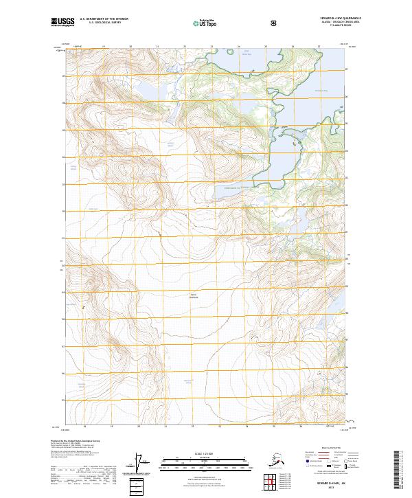
2023 Map of Seward B-4 NW
USGS Topo · Published 2023About this map
The massive ice fields of the Kenai Peninsula dominate this portion of the Chugach National Forest, where towering peaks give way to complex glacial systems. The landscape is defined by the slow movement of the Nellie Juan Glacier and the Contact Glacier, which sit alongside several smaller named flows including Falling Glacier and Deep-Water-Contact Glacier. Along the northern edge, the terrain descends into the marine environment of Deep Water Bay and Derickson Bay. In the southern reaches, the Chenega Glacier, Princeton Glacier, and Ultramarine Glacier illustrate the dense concentrations of ice that have shaped these mountain ranges. This survey captures a wild, uninhabited expanse where the intersection of high-altitude ice and the sea creates a singular coastal environment.
Find a feature on this map
18 named features on this map. Tap any name to fly to it.
Don’t see what you’re looking for? This feature index may not catch every label — zoom into the map to look around manually.
Map Details
Editions of this 2023 Seward B-4 NW Map
This is the sole edition of this map. No revisions or reprints were ever made.
Other maps of this area

1951 · Seward
USGS Topo · 1:250,000

1951 · Seward B-4
USGS Topo · 1:63,360

1951 · Seward C-5
USGS Topo · 1:63,360

1951 · Seward B-5
USGS Topo · 1:63,360

1951 · Seward C-4
USGS Topo · 1:63,360

1952 · Seward B-4
USGS Topo · 1:63,360

1952 · Seward C-5
USGS Topo · 1:63,360

1952 · Seward B-5
USGS Topo · 1:63,360

1952 · Seward C-4
USGS Topo · 1:63,360

1953 · Seward
USGS Topo · 1:250,000