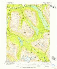
1952 Map of Seward B-8
USGS Topo · Published 1954About this map
Bohan Cabin Seaplane Base and the settlement at Snug Harbor anchor this early 1950s interior view of the Kenai Peninsula. The landscape is defined by the sharp boundary between the Chugach National Forest and the Kenai National Moose Range, which converge near the winding Kenai River. Local commerce and habitation are evidenced by clusters of lodges and outposts like Hentons Lodge, Gwins Lodge, and Nixons Ranch, many accessible only by the newly established Sterling Highway or by water.
Find a feature on this map
41 named features on this map. Tap any name to fly to it.
Don’t see what you’re looking for? This feature index may not catch every label — zoom into the map to look around manually.
Map Details
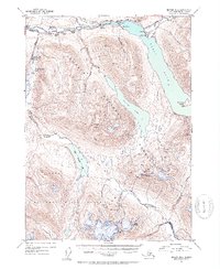
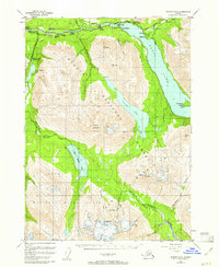
Editions of this 1952 Seward B-8 Map
3 editions found
Other maps of this area

1944 · Kenai
USGS Topo · 1:250,000

1950 · Kenai
USGS Topo · 1:250,000

1950 · Kenai B-1
USGS Topo · 1:63,360

1950 · Seward A-8
USGS Topo · 1:63,360

1950 · Seward A-7
USGS Topo · 1:63,360

1951 · Seward
USGS Topo · 1:250,000

1951 · Seward A-7
USGS Topo · 1:63,360

1951 · Kenai C-1
USGS Topo · 1:63,360

1951 · Seward B-7
USGS Topo · 1:63,360

1951 · Kenai A-1
USGS Topo · 1:63,360