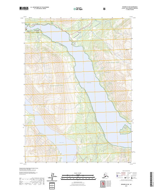
2023 Map of Seward B-8 NE
USGS Topo · Published 2023About this map
Cooper Landing serves as the primary hub for this portion of the Kenai Peninsula, situated at the narrow western outlet of Kenai Lake. The landscape is defined by the sharp transition from the broad waters of the lake to the high elevations of the Chugach National Forest, including peaks like Right Mtn. Transportation is anchored by the Sterling Highway, which follows the northern shoreline, while the more remote Snug Harbor Rd skirts the western edge of the water toward the settlement of Snug Harbor.
Find a feature on this map
23 named features on this map. Tap any name to fly to it.
Don’t see what you’re looking for? This feature index may not catch every label — zoom into the map to look around manually.
Map Details
Editions of this 2023 Seward B-8 NE Map
This is the sole edition of this map. No revisions or reprints were ever made.
Other maps of this area

1951 · Seward
USGS Topo · 1:250,000

1951 · Seward B-7
USGS Topo · 1:63,360

1951 · Seward C-8
USGS Topo · 1:63,360

1951 · Seward B-8
USGS Topo · 1:63,360

1951 · Seward C-7
USGS Topo · 1:63,360

1952 · Seward C-8
USGS Topo · 1:63,360
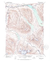
1952 · Seward B-8
USGS Topo · 1:63,360

1953 · Seward C-7
USGS Topo · 1:63,360

1953 · Seward B-7
USGS Topo · 1:63,360

1953 · Seward
USGS Topo · 1:250,000