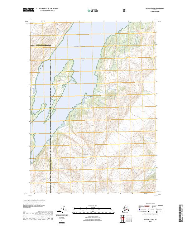
2023 Map of Seward C-5 NE
USGS Topo · Published 2023About this map
Blackstone Bay dominates the central corridor of this survey, serving as a deep-water reach of the Pacific Ocean that carves into the mountainous interior of the Chugach National Forest. The landscape is defined by the massive glacial presence that feeds this maritime environment. Seven distinct glaciers reach toward the coast, including the expansive Tebenkof Glacier to the east and the Marquette Glacier and Beloit Glacier to the west. At the heart of the bay sits Willard Island, a prominent landmass rising from the fjord waters. This map captures the dynamic boundary between the marine ecosystem and the retreating ice fields, illustrating the intricate drainage patterns of the Lawrence Glacier, Ripon Glacier, and Cotterell Glacier as they shape the terrain of the Kenai Peninsula Borough.
Find a feature on this map
28 named features on this map. Tap any name to fly to it.
Don’t see what you’re looking for? This feature index may not catch every label — zoom into the map to look around manually.
Map Details
Editions of this 2023 Seward C-5 NE Map
This is the sole edition of this map. No revisions or reprints were ever made.
Other maps of this area

1951 · Seward
USGS Topo · 1:250,000

1951 · Seward D-5
USGS Topo · 1:63,360

1951 · Seward C-5
USGS Topo · 1:63,360

1951 · Seward D-4
USGS Topo · 1:63,360

1951 · Seward C-4
USGS Topo · 1:63,360

1952 · Seward D-5
USGS Topo · 1:63,360

1952 · Seward D-4
USGS Topo · 1:63,360

1952 · Seward C-5
USGS Topo · 1:63,360

1952 · Seward C-4
USGS Topo · 1:63,360

1953 · Seward
USGS Topo · 1:250,000