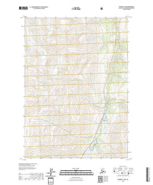
2023 Map of Seward C-7 NW
USGS Topo · Published 2023About this map
Chugach National Forest encompasses the high country of the Kenai Peninsula, where steep drainages feed a network of creeks and alpine lakes. The transit corridor follows Canyon Creek through the eastern portion of the map, closely tracked by the Seward Highway. This modern route mirrors the historic paths used by travelers and prospectors moving through the Kenai mountains. Notable water bodies such as Lower Summit Lake and Summit Lake are prominent landmarks near the southern boundary, surrounded by a complex system of trails.
Find a feature on this map
31 named features on this map. Tap any name to fly to it.
Don’t see what you’re looking for? This feature index may not catch every label — zoom into the map to look around manually.
Map Details
Editions of this 2023 Seward C-7 NW Map
This is the sole edition of this map. No revisions or reprints were ever made.
Other maps of this area

1951 · Seward
USGS Topo · 1:250,000

1951 · Seward C-8
USGS Topo · 1:63,360

1951 · Seward D-8
USGS Topo · 1:63,360

1951 · Seward D-7
USGS Topo · 1:63,360

1951 · Seward C-7
USGS Topo · 1:63,360

1952 · Seward D-8
USGS Topo · 1:63,360

1952 · Seward C-8
USGS Topo · 1:63,360

1952 · Seward D-7
USGS Topo · 1:63,360

1953 · Seward C-7
USGS Topo · 1:63,360

1953 · Seward
USGS Topo · 1:250,000