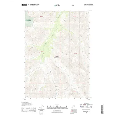
2018 Map of Seward C-8 NE
USGS Topo · Published 2018About this map
Resurrection Pass sits at the heart of this high-elevation wilderness, serving as a critical waypoint for travel through the Kenai Peninsula. The landscape is defined by the sharp divide between the Kenai National Wildlife Refuge to the northwest and the Chugach National Forest which covers the remainder of the quadrangle. This area is characterized by a dense network of glacial-fed streams, including Resurrection Cr and its many tributaries such as Fox Cr and American Cr. The presence of the historic Resurrection Pass Trail and the Summit Creek Trail illustrates the long-standing importance of this corridor for overland movement through the interior peaks. These routes provided essential access through the terrain long before modern infrastructure, following natural contours like those near Big Indian Cr and Aber nathy Cr.
Find a feature on this map
18 named features on this map. Tap any name to fly to it.
Don’t see what you’re looking for? This feature index may not catch every label — zoom into the map to look around manually.
Map Details
Editions of this 2018 Seward C-8 NE Map
This is the sole edition of this map. No revisions or reprints were ever made.
Other maps of this area

1951 · Seward
USGS Topo · 1:250,000

1951 · Seward C-8
USGS Topo · 1:63,360

1951 · Seward D-8
USGS Topo · 1:63,360

1951 · Seward D-7
USGS Topo · 1:63,360

1951 · Seward C-7
USGS Topo · 1:63,360

1952 · Seward D-8
USGS Topo · 1:63,360

1952 · Seward C-8
USGS Topo · 1:63,360

1952 · Seward D-7
USGS Topo · 1:63,360

1953 · Seward C-7
USGS Topo · 1:63,360

1953 · Seward
USGS Topo · 1:250,000