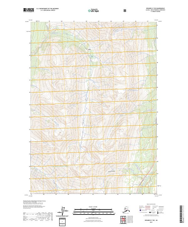
2023 Map of Seward D-7 SW
USGS Topo · Published 2023About this map
Hope sits at the northern edge of this Kenai Peninsula landscape, where the Hope Highway meets the drainage of Palmer Creek. The terrain is defined by the steep valleys and high ridges of the Chugach National Forest, a region historically shaped by the search for minerals along numerous waterways such as Bear Creek, Coeur d'Alene Creek, and Bonanza Creek. The transport network reflects the intersection of modern transit and traditional wilderness access, with the Seward Highway cutting through the southeast corner while the Palmer Lake Trl leads deep into the interior toward Palmer Lake. This area of the Kenai Peninsula illustrates the typical Alaskan settlement pattern, where small communities like Hope anchor vast stretches of protected forest and rugged alpine drainage basins.
Find a feature on this map
28 named features on this map. Tap any name to fly to it.
Don’t see what you’re looking for? This feature index may not catch every label — zoom into the map to look around manually.
Map Details
Editions of this 2023 Seward D-7 SW Map
This is the sole edition of this map. No revisions or reprints were ever made.
Other maps of this area

1951 · Seward
USGS Topo · 1:250,000

1951 · Seward C-8
USGS Topo · 1:63,360

1951 · Seward D-8
USGS Topo · 1:63,360

1951 · Seward D-7
USGS Topo · 1:63,360

1951 · Seward C-7
USGS Topo · 1:63,360

1952 · Seward D-8
USGS Topo · 1:63,360

1952 · Seward C-8
USGS Topo · 1:63,360

1952 · Seward D-7
USGS Topo · 1:63,360

1953 · Seward C-7
USGS Topo · 1:63,360

1953 · Seward
USGS Topo · 1:250,000