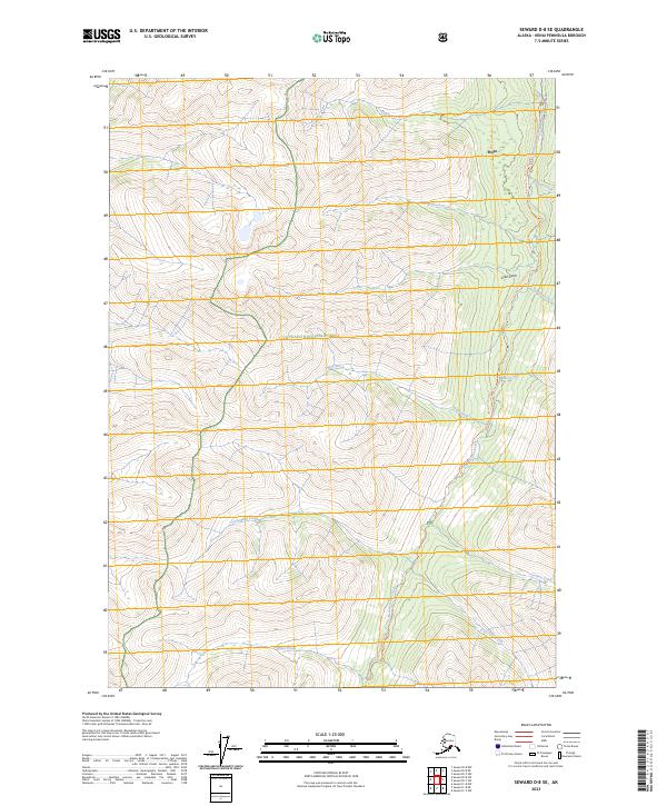
2023 Map of Seward D-8 SE
USGS Topo · Published 2023About this map
The settlement of Hope anchors the northern edge of this Kenai Peninsula landscape, where the waters of Resurrection Creek meet the Turnagain Arm. This survey illustrates a terrain defined by high-altitude drainages and established trail systems within the Chugach National Forest and the Kenai National Wildlife Refuge. The map highlights the historic path of the Resurrection Pass Trl, a vital artery for traversing the interior peaks. Tributaries such as Palmer Creek, Wolf Creek, and Caribou Creek carve through the mountains, while the presence of Gold Gulch points to the region's long association with mineral extraction. This 2023 edition preserves the modern configuration of access roads like the Resurrection Creek Rd alongside traditional creek-side landmarks, providing a clear record of the area's wilderness and recreational infrastructure.
Find a feature on this map
21 named features on this map. Tap any name to fly to it.
Don’t see what you’re looking for? This feature index may not catch every label — zoom into the map to look around manually.
Map Details
Editions of this 2023 Seward D-8 SE Map
This is the sole edition of this map. No revisions or reprints were ever made.
Other maps of this area

1951 · Seward
USGS Topo · 1:250,000

1951 · Seward C-8
USGS Topo · 1:63,360

1951 · Seward D-8
USGS Topo · 1:63,360

1951 · Seward D-7
USGS Topo · 1:63,360

1951 · Seward C-7
USGS Topo · 1:63,360

1952 · Seward D-8
USGS Topo · 1:63,360

1952 · Seward C-8
USGS Topo · 1:63,360

1952 · Seward D-7
USGS Topo · 1:63,360

1953 · Seward C-7
USGS Topo · 1:63,360

1953 · Seward
USGS Topo · 1:250,000