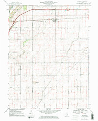
1970 Map of Seymour
USGS Topo · Published 1971About this map
The Central Illinois corridor defines this landscape west of Champaign-Urbana, where the grid of the Midwest intersects with a complex drainage network. The small settlement of Seymour serves as a focal point along the railway, while the Sangamon River meanders through the northwest corner near Centerville. This 1970 snapshot of the region captures the agricultural and infrastructure patterns of the late 20th century, including the significant Radio Tower (WCIA-TV) and a network of pipelines and drainage systems like the Kankakee Drainage Ditch.
Find a feature on this map
20 named features on this map. Tap any name to fly to it.
Don’t see what you’re looking for? This feature index may not catch every label — zoom into the map to look around manually.
Map Details
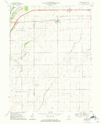
Editions of this 1970 Seymour Map
2 editions found
Other maps of this area

1907 · Mahomet
USGS Topo · 1:62,500

1937 · Monticello
USGS Topo · 1:48,000

1943 · Monticello
USGS Topo · 1:62,500

1950 · Tuscola
USGS Topo · 1:62,500

1955 · Bement
USGS Topo · 1:62,500

1957 · Rising
USGS Topo · 1:24,000

1957 · Mahomet
USGS Topo · 1:62,500

1957 · Bondville
USGS Topo · 1:24,000

1958 · Peoria
USGS Topo · 1:250,000

1958 · Decatur
USGS Topo · 1:250,000