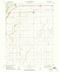
1970 Map of Seymour
USGS Topo · Published 1971About this map
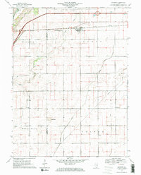
Seymour serves as the primary hub of this landscape, situated at the intersection of the Illinois Central railroad and Illinois 10. The map reveals a transition between small agricultural settlements and emerging infrastructure, notably the prominent Radio Tower (WCIA-TV) standing near the Piatt and Champaign county line. The terrain is defined by the winding course of Camp Creek and the man-made precision of the Kankakee Drainage Ditch, illustrating the intensive drainage efforts required to sustain farming in this part of Illinois.
Find a feature on this map
22 named features on this map. Tap any name to fly to it.
Don’t see what you’re looking for? This feature index may not catch every label — zoom into the map to look around manually.
Map Details
Editions of this 1970 Seymour Map
2 editions found
Other maps of this area

1907 · Mahomet
USGS Topo · 1:62,500

1937 · Monticello
USGS Topo · 1:48,000

1943 · Monticello
USGS Topo · 1:62,500

1950 · Tuscola
USGS Topo · 1:62,500

1955 · Bement
USGS Topo · 1:62,500

1957 · Rising
USGS Topo · 1:24,000

1957 · Mahomet
USGS Topo · 1:62,500

1957 · Bondville
USGS Topo · 1:24,000

1958 · Peoria
USGS Topo · 1:250,000

1958 · Decatur
USGS Topo · 1:250,000