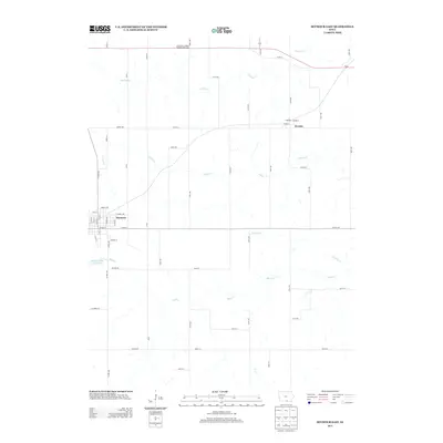
2013 Map of Seymour East
USGS Topo · Published 2013About this map
Seymour serves as the primary hub in this eastern Wayne County landscape, where the town's street grid, including W N St and E Youngs Ave, meets the surrounding agricultural expanse. The area's hydrology is defined by the branching networks of Walnut Cr and Cooper Cr, while the Seymour City Reservoir provides a critical local water landmark. To the northeast, the small settlements of Jerome and Plano are connected by a rural road network that follows the section lines of the Iowa countryside.
Find a feature on this map
58 named features on this map. Tap any name to fly to it.
Don’t see what you’re looking for? This feature index may not catch every label — zoom into the map to look around manually.
Map Details
Editions of this 2013 Seymour East Map
This is the sole edition of this map. No revisions or reprints were ever made.
Other maps of this area

1935 · Russell
USGS Topo · 1:62,500

1938 · Russell
USGS Topo · 1:62,500

1939 · Centerville
USGS Topo · 1:62,500

1939 · Mystic
USGS Topo · 1:62,500

1941 · Centerville
USGS Topo · 1:62,500

1942 · Mystic
USGS Topo · 1:62,500

1942 · Seymour
USGS Topo · 1:62,500

1944 · Seymour
USGS Topo · 1:62,500

1954 · Centerville
USGS Topo · 1:250,000

1957 · Centerville
USGS Topo · 1:250,000