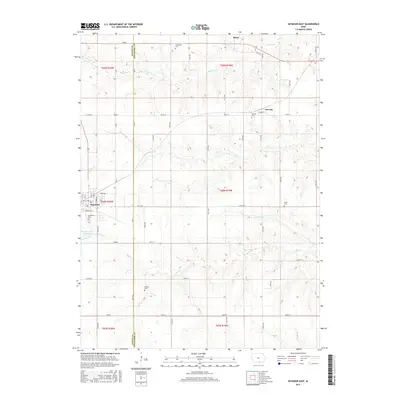
2015 Map of Seymour East
USGS Topo · Published 2015About this map
The boundary between Wayne and Appanoose Counties splits this rural landscape, which is defined by a grid of section roads and small agricultural communities. Seymour occupies the western edge, adjacent to the Southlawn Cem and the Seymour City Reservoir, which feeds into Shoal Creek. To the east, the small settlements of Plano and Jerome are positioned along the county line, surrounded by numerous family and community burial grounds including Crossroads Cem, Jerome Cem, Miller Cem, and Schultz Cem.
Find a feature on this map
36 named features on this map. Tap any name to fly to it.
Don’t see what you’re looking for? This feature index may not catch every label — zoom into the map to look around manually.
Map Details
Editions of this 2015 Seymour East Map
This is the sole edition of this map. No revisions or reprints were ever made.
Other maps of this area

1935 · Russell
USGS Topo · 1:62,500

1938 · Russell
USGS Topo · 1:62,500

1939 · Centerville
USGS Topo · 1:62,500

1939 · Mystic
USGS Topo · 1:62,500

1941 · Centerville
USGS Topo · 1:62,500

1942 · Mystic
USGS Topo · 1:62,500

1942 · Seymour
USGS Topo · 1:62,500

1944 · Seymour
USGS Topo · 1:62,500

1954 · Centerville
USGS Topo · 1:250,000

1957 · Centerville
USGS Topo · 1:250,000