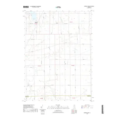
2018 Map of Shabbona Grove
USGS Topo · Published 2018About this map
Shabbona Grove occupies a central position within this DeKalb County landscape, where the prairie topography is defined by the winding course of Indian Cr and Little Indian Cr. The map reveals a rural structure typical of the Illinois corn belt, organized around a rectilinear grid of roads such as Chicago Rd and Suydam Rd.
Find a feature on this map
44 named features on this map. Tap any name to fly to it.
Don’t see what you’re looking for? This feature index may not catch every label — zoom into the map to look around manually.
Map Details
Editions of this 2018 Shabbona Grove Map
This is the sole edition of this map. No revisions or reprints were ever made.
Other maps of this area
1934 · De Kalb
USGS Topo · 1:62,500
1937 · De Kalb
USGS Topo · 1:62,500
1937 · Sycamore
USGS Topo · 1:62,500
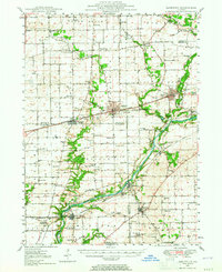
1948 · Sandwich
USGS Topo · 1:62,500
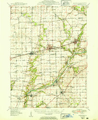
1950 · Sandwich
USGS Topo · 1:62,500
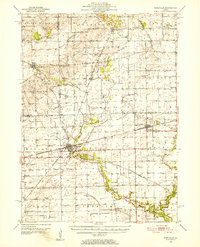
1951 · Earlville
USGS Topo · 1:62,500

1958 · Aurora
USGS Topo · 1:250,000
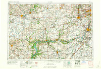
1961 · Aurora
USGS Topo · 1:250,000
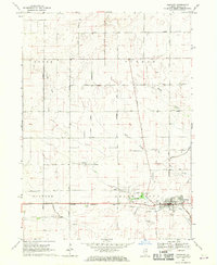
1968 · Hinckley
USGS Topo · 1:24,000
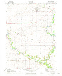
1971 · Leland
USGS Topo · 1:24,000