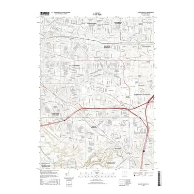
2016 Map of Shaker Heights
USGS Topo · Published 2016About this map
The dense residential street patterns of Cleveland and its eastern suburbs dominate this landscape, reflecting a century of metropolitan expansion. Shaker Heights and Cleveland Heights are defined by the winding parkways around Bower Shaker Lake and Upper Shaker Lake, showcasing the planned character of these early-20th-century communities. Further south, the terrain descends toward the industrial and natural corridors of the Guyahoga River and Cuyahoga Valley National Park.
Find a feature on this map
51 named features on this map. Tap any name to fly to it.
Don’t see what you’re looking for? This feature index may not catch every label — zoom into the map to look around manually.
Map Details
Editions of this 2016 Shaker Heights Map
This is the sole edition of this map. No revisions or reprints were ever made.
Other maps of this area

1901 · Euclid
USGS Topo · 1:62,500

1903 · Cleveland
USGS Topo · 1:62,500

1903 · Euclid
USGS Topo · 1:62,500

1905 · Mentor
USGS Topo · 1:62,500

1906 · Chagrin Falls
USGS Topo · 1:62,500

1907 · Mentor
USGS Topo · 1:62,500

1908 · Chagrin Falls
USGS Topo · 1:62,500

1950 · Cleveland
USGS Topo · 1:250,000

1953 · Chagrin Falls
USGS Topo · 1:24,000

1953 · Shaker Heights
USGS Topo · 1:24,000