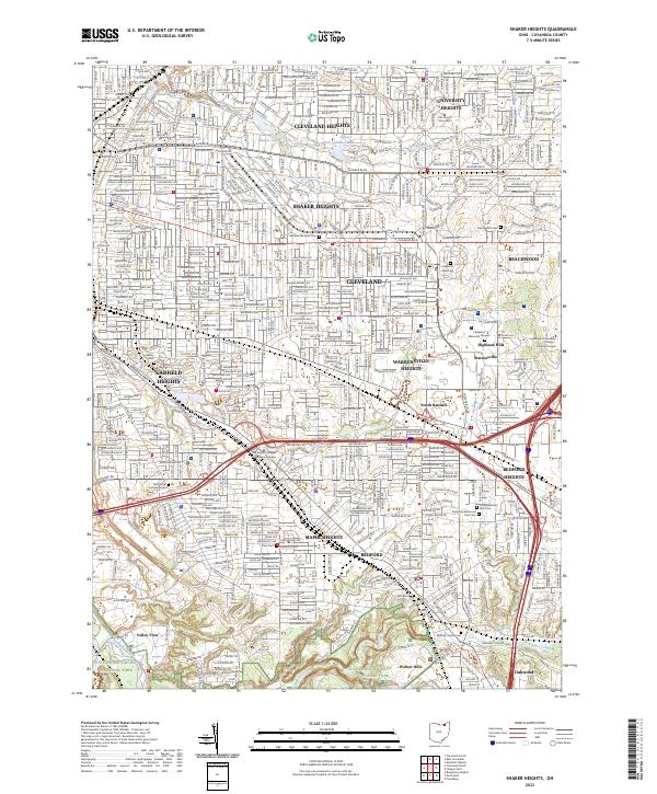
2023 Map of Shaker Heights
USGS Topo · Published 2023About this map
University Heights, Cleveland Heights, and Shaker Heights define this densely settled suburban landscape east of Cleveland. The area is characterized by intentional planning around water features like Upper Shaker Lake, Lower Shaker Lake, and Marshall Lake, which feed into Doan Brook. These reservoirs and parks are surrounded by established residential neighborhoods and prominent institutions such as John Carroll University.
Find a feature on this map
42 named features on this map. Tap any name to fly to it.
Don’t see what you’re looking for? This feature index may not catch every label — zoom into the map to look around manually.
Map Details
Editions of this 2023 Shaker Heights Map
This is the sole edition of this map. No revisions or reprints were ever made.
Other maps of this area

1901 · Euclid
USGS Topo · 1:62,500

1903 · Cleveland
USGS Topo · 1:62,500

1903 · Euclid
USGS Topo · 1:62,500

1905 · Mentor
USGS Topo · 1:62,500

1906 · Chagrin Falls
USGS Topo · 1:62,500

1907 · Mentor
USGS Topo · 1:62,500

1908 · Chagrin Falls
USGS Topo · 1:62,500

1950 · Cleveland
USGS Topo · 1:250,000

1953 · Chagrin Falls
USGS Topo · 1:24,000

1953 · Shaker Heights
USGS Topo · 1:24,000