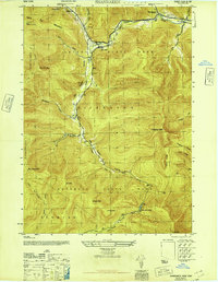
1946 Map of Shandaken
USGS Topo · Published 1946About this map
Esopus Creek carves a deep path through the heart of Catskill State Park, anchoring a network of narrow valleys and high peaks that defined the mid-century geography of the central Catskills. The New York Central railroad follows the winding course of Birch Creek and the Esopus, serving small settlements like Pine Hill, Big Indian, and Allaben. This survey, compiled from 1943 aerial photography, reveals a landscape where road and rail infrastructure is confined to the hollows, while the surrounding ridges remain dominated by high-altitude features like Slide Mtn, Panther Mtn, and the Belleayr Lookout Tower. To the south, the headwaters of the West Branch Neversink Creek emerge near Winnisook Lodge, illustrating the region's importance as a critical watershed. Small rural institutions, including School No 4 and School No 2, appear along the valley floors, providing key reference points for local family history.
Find a feature on this map
43 named features on this map. Tap any name to fly to it.
Don’t see what you’re looking for? This feature index may not catch every label — zoom into the map to look around manually.
Map Details
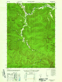
Editions of this 1946 Shandaken Map
2 editions found
Other maps of this area

1900 · Phoenicia
USGS Topo · 1:62,500

1901 · Margaretville
USGS Topo · 1:62,500

1903 · Phoenicia
USGS Topo · 1:62,500

1903 · Slide Mountain
USGS Topo · 1:62,500

1904 · Margaretville
USGS Topo · 1:62,500

1905 · Slide Mountain
USGS Topo · 1:62,500

1910 · Neversink
USGS Topo · 1:62,500

1942 · West Shokan
USGS Topo · 1:24,000

1942 · Neversink
USGS Topo · 1:62,500

1943 · Peekamoose Mountain
USGS Topo · 1:31,680