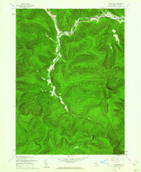
1960 Map of Shandaken
USGS Topo · Published 1961About this map
Esopus Creek winds through a deep valley in this 1960s revision of the Shandaken area, where the New York Central railroad follows the water's path past settlements like Big Indian and Allaben. This landscape is defined by the high peaks of the Catskill State Forest Preserve, including Slide Mtn and Panther Mtn, which frame the narrow hollows where local life centered.
Find a feature on this map
43 named features on this map. Tap any name to fly to it.
Don’t see what you’re looking for? This feature index may not catch every label — zoom into the map to look around manually.
Map Details
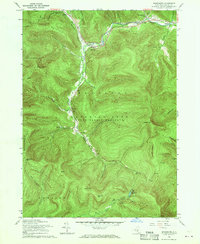
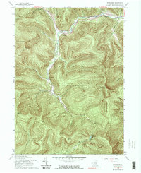
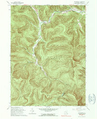
Editions of this 1960 Shandaken Map
4 editions found
Other maps of this area

1900 · Phoenicia
USGS Topo · 1:62,500

1901 · Margaretville
USGS Topo · 1:62,500

1903 · Phoenicia
USGS Topo · 1:62,500

1903 · Slide Mountain
USGS Topo · 1:62,500

1904 · Margaretville
USGS Topo · 1:62,500

1905 · Slide Mountain
USGS Topo · 1:62,500

1910 · Neversink
USGS Topo · 1:62,500

1942 · West Shokan
USGS Topo · 1:24,000

1942 · Neversink
USGS Topo · 1:62,500

1943 · Peekamoose Mountain
USGS Topo · 1:31,680