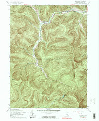
1960 Map of Shandaken
USGS Topo · Published 1990About this map
Pine Hill and Shandaken anchor this mountain landscape, which shows the region in the mid-20th century. The New York Central railroad follows the course of Esopus Creek through the valley, connecting settlements like Big Indian and Allaben. The terrain is dominated by the high peaks of the Catskill Park State Forest Preserve, including Panther Mtn and Slide Mtn, the latter marking the southern reaches of the map near the headwaters of the West Branch Neversink River.
Find a feature on this map
43 named features on this map. Tap any name to fly to it.
Don’t see what you’re looking for? This feature index may not catch every label — zoom into the map to look around manually.
Map Details
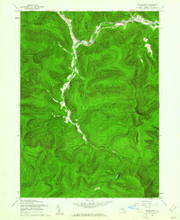
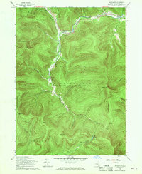
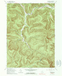
Editions of this 1960 Shandaken Map
4 editions found
Other maps of this area

1900 · Phoenicia
USGS Topo · 1:62,500

1901 · Margaretville
USGS Topo · 1:62,500

1903 · Phoenicia
USGS Topo · 1:62,500

1903 · Slide Mountain
USGS Topo · 1:62,500

1904 · Margaretville
USGS Topo · 1:62,500

1905 · Slide Mountain
USGS Topo · 1:62,500

1910 · Neversink
USGS Topo · 1:62,500

1942 · West Shokan
USGS Topo · 1:24,000

1942 · Neversink
USGS Topo · 1:62,500

1943 · Peekamoose Mountain
USGS Topo · 1:31,680