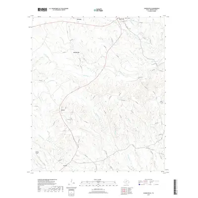
2019 Map of Shankleville
USGS Topo · Published 2019About this map
Shankleville sits as a historic focal point in this eastern Texas landscape, surrounded by a complex network of waterways including Yellow Bayou and Little Quicksand Cr. The terrain is defined by its drainages, where small branches like Moore Br and Dave Mack Br feed into larger creek systems, illustrating the natural irrigation of the Deep East Texas timberlands. This 2019 survey documents the modern layout of rural communities like Liberty and Wiergate alongside infrastructure such as the Newton Municipal Airport. For those tracing local heritage, the map identifies several burial sites, including Simmons Cem and Saint Johns Cem, which serve as physical anchors for families rooted in Newton and Burkeville. The intricate road system, from FM 1414 to named paths like Golden Rule, reveals the enduring spatial relationship between these scattered settlements and the forested creek bottoms that separate them.
Find a feature on this map
74 named features on this map. Tap any name to fly to it.
Don’t see what you’re looking for? This feature index may not catch every label — zoom into the map to look around manually.
Map Details
Editions of this 2019 Shankleville Map
This is the sole edition of this map. No revisions or reprints were ever made.
Other maps of this area

1944 · Wiergate
USGS Topo · 1:62,500

1946 · Merryville
USGS Topo · 1:31,680

1948 · Wiergate
USGS Topo · 1:62,500

1949 · Evans
USGS Topo · 1:31,680

1952 · Lake Charles
USGS Topo · 1:250,000

1953 · Alexandria
USGS Topo · 1:250,000
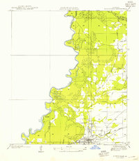
1954 · Merryville
USGS Topo · 1:31,680

1954 · Wiergate
USGS Topo · 1:24,000

1954 · Wiergate SE
USGS Topo · 1:24,000

1954 · Wiergate
USGS Topo · 1:62,500