
1954 Map of Wiergate SE
USGS Topo · Published 1958About this map
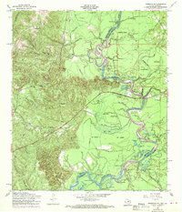
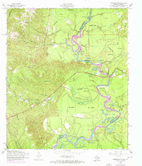
The Sabine River snakes through the dense river bottomlands of Newton County and Vernon Parish in this mid-century survey, defining the irregular border between Texas and Louisiana. The landscape is dominated by a complex network of wetlands and backwaters, including Palmettos Brake, Evans Brake, and Old Wing Slough. These features reveal a dynamic fluvial environment where oxbow lakes like Horseshoe Lake and Daytrain Lake mark former channels of the river.
Find a feature on this map
62 named features on this map. Tap any name to fly to it.
Don’t see what you’re looking for? This feature index may not catch every label — zoom into the map to look around manually.
Map Details
Editions of this 1954 Wiergate SE Map
3 editions found
Other maps of this area

1941 · Leesville
USGS Topo · 1:62,500

1943 · Leesville
USGS Topo · 1:62,500

1944 · Wiergate
USGS Topo · 1:62,500

1946 · Leesville
USGS Topo · 1:62,500

1947 · Knight
USGS Topo · 1:31,680

1948 · Leesville
USGS Topo · 1:62,500

1948 · Wiergate
USGS Topo · 1:62,500

1949 · Evans
USGS Topo · 1:31,680

1952 · Lake Charles
USGS Topo · 1:250,000

1953 · Alexandria
USGS Topo · 1:250,000