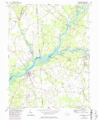
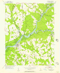
1955 Map of Sharptown
USGS Topo · Published 1987About this map
The Nanticoke River defines this landscape on the Delmarva Peninsula, marking the boundary between Maryland and Delaware. The river's historical importance as a commercial artery is evident in the numerous river-access points, including Hurts Wharf, Wheatleys Wharf, and the Woodland Ferry crossing. The settlement of Sharptown serves as a primary hub near the river's bend, while the Nanticoke Wildlife Area preserves the low-lying wetlands and islands like Prickley Pear Island.
Find a feature on this map
58 named features on this map. Tap any name to fly to it.
Don’t see what you’re looking for? This feature index may not catch every label — zoom into the map to look around manually.
Map Details
Editions of this 1955 Sharptown Map
2 editions found
Other maps of this area

1901 · Salisbury
USGS Topo · 1:62,500

1903 · Nanticoke
USGS Topo · 1:62,500

1905 · Hurlock
USGS Topo · 1:62,500

1915 · Seaford
USGS Topo · 1:62,500

1942 · Mardela Springs
USGS Topo · 1:24,000

1942 · Hebron
USGS Topo · 1:24,000

1942 · Delmar
USGS Topo · 1:24,000
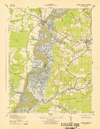
1943 · Mardela Springs
USGS Topo · 1:31,680
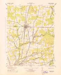
1943 · Delmar
USGS Topo · 1:31,680

1943 · Hebron
USGS Topo · 1:31,680