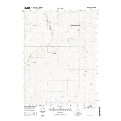
2015 Map of Shasta Bally
USGS Topo · Published 2015About this map
The Whiskeytown-Shasta-Trinity National Recreation Area dominates the northern portion of this landscape, where the high summits of the Klamath Mountains define the border between Shasta and Trinity counties. Prominent peaks known as "ballies" characterize the topography, including Shasta Bally, Buckhorn Bally, and Shoemaker Bally. These high-elevation landmarks watch over a complex drainage system where Brandy Creek and Boulder Creek flow eastward, while numerous forks of Cottonwood Creek, such as Moon Fork Cottonwood Creek and N Fork Cottonwood Creek, carve the southern slopes. Near the southern map edge, Rainbow Lake provides a rare point of standing water amidst the steep ridges. The terrain is marked by significant elevation changes, from the heights of Paradise Peak and Ducket Peak down to the creek beds of Taylor Gulch and Gimblin Creek, illustrating the transition from recreation lands to the headwaters of the Sacramento Valley watershed.
Find a feature on this map
31 named features on this map. Tap any name to fly to it.
Don’t see what you’re looking for? This feature index may not catch every label — zoom into the map to look around manually.
Map Details
Editions of this 2015 Shasta Bally Map
This is the sole edition of this map. No revisions or reprints were ever made.
Other maps of this area

1890 · Red Bluff
USGS Topo · 1:250,000

1894 · Red Bluff
USGS Topo · 1:250,000

1913 · Weaverville
USGS Topo · 1:125,000

1944 · French Gulch
USGS Topo · 1:62,500

1948 · French Gulch
USGS Topo · 1:62,500

1950 · Weaverville
USGS Topo · 1:62,500

1951 · Chanchelulla Peak
USGS Topo · 1:62,500

1952 · Weaverville
USGS Topo · 1:62,500

1952 · Ono
USGS Topo · 1:62,500

1958 · Redding
USGS Topo · 1:250,000