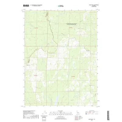
2018 Map of Shasta Bally
USGS Topo · Published 2018About this map
Shasta Bally and several other prominent "bally" peaks define this high-elevation landscape along the boundary of Shasta and Trinity counties. Much of the northern terrain is managed within the Whiskeytown-Shasta-Trinity National Recreation Area, where trails such as the Shasta Bally Trail and Queen Mary Trail navigate steep slopes. This area serves as a significant drainage basin, with the N Fork Cottonwood Cr and its tributaries, including Ducket Cr and Gimblin Cr, carving deep valleys through the mountains.
Find a feature on this map
40 named features on this map. Tap any name to fly to it.
Don’t see what you’re looking for? This feature index may not catch every label — zoom into the map to look around manually.
Map Details
Editions of this 2018 Shasta Bally Map
This is the sole edition of this map. No revisions or reprints were ever made.
Other maps of this area

1890 · Red Bluff
USGS Topo · 1:250,000

1894 · Red Bluff
USGS Topo · 1:250,000

1913 · Weaverville
USGS Topo · 1:125,000

1944 · French Gulch
USGS Topo · 1:62,500

1948 · French Gulch
USGS Topo · 1:62,500

1950 · Weaverville
USGS Topo · 1:62,500

1951 · Chanchelulla Peak
USGS Topo · 1:62,500

1952 · Weaverville
USGS Topo · 1:62,500

1952 · Ono
USGS Topo · 1:62,500

1958 · Redding
USGS Topo · 1:250,000