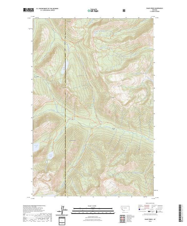
2024 Map of Shaw Creek
USGS Topo · Published 2024About this map
The Bob Marshall Wilderness and Flathead National Forest dominate this landscape, defined by the high ridges of the Swan Range and a network of high-elevation water bodies. The terrain is bisected by the county line between Missoula and Powell counties, tracing a path through a landscape where water and foot travel are the primary means of navigation. Notable alpine water features including Big Knife Lakes, Koessler Lake, and Doctor Lake are connected by a system of primitive routes such as the Koessler Lake Trl and the Holland-Gordon Trl. Topographical landmarks like Lena Peak, Shaw Mtn, and Trio Mtn provide significant vertical relief, while Shirttail Park offers a break in the steep drainages of Gordon Creek and George Creek.
Find a feature on this map
42 named features on this map. Tap any name to fly to it.
Don’t see what you’re looking for? This feature index may not catch every label — zoom into the map to look around manually.
Map Details
Editions of this 2024 Shaw Creek Map
This is the sole edition of this map. No revisions or reprints were ever made.
Other maps of this area

1902 · Ovando
USGS Topo · 1:125,000

1905 · Ovando
USGS Topo · 1:125,000

1921 · Elbow Lake
USGS Topo · 1:125,000

1936 · Silvertip
USGS Topo · 1:96,000

1942 · Silvertip
USGS Topo · 1:125,000

1955 · Choteau
USGS Topo · 1:250,000

1957 · Choteau
USGS Topo · 1:250,000

1958 · Choteau
USGS Topo · 1:250,000

1962 · Choteau
USGS Topo · 1:250,000

1965 · Holland Lake
USGS Topo · 1:24,000