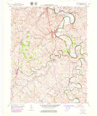
1954 Map of Shawhan
USGS Topo · Published 1979About this map
The South Fork Licking River meanders through the heart of this landscape, marking the northern border of Bourbon County where it meets Harrison County. This 1950s era survey reveals a settled agricultural region defined by narrow valleys and prominent ridges, where local life centered on small crossroads and rural institutions. The Louisville and Nashville railroad tracks follow the river's path, connecting the hamlet of Shawhan to the broader regional economy.
Find a feature on this map
31 named features on this map. Tap any name to fly to it.
Don’t see what you’re looking for? This feature index may not catch every label — zoom into the map to look around manually.
Map Details
Editions of this 1954 Shawhan Map
2 editions found
Other maps of this area

1927 · Lexington
USGS Topo · 1:48,000

1929 · Cynthiana
USGS Topo · 1:48,000

1929 · Lexington
USGS Topo · 1:62,500

1934 · Cynthiana
USGS Topo · 1:62,500

1952 · Paris East
USGS Topo · 1:24,000

1952 · Shady Nook
USGS Topo · 1:24,000

1953 · Millersburg
USGS Topo · 1:24,000

1953 · Breckinridge
USGS Topo · 1:24,000
1953 · Cynthiana
USGS Topo · 1:24,000
1954 · Shawhan
USGS Topo · 1:24,000