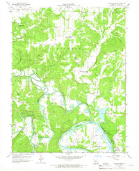
1959 Map of Shawnee Bend
USGS Topo · Published 1966About this map
South Grand River and the South River converge here in Benton County, where the rising waters of the Lake of the Ozarks begin to fill the deep valley floors. The landscape is defined by the sinuous path of the Osage River and dramatic terrain features like the Devils Backbone and Kaysinger Bluff. While Warsaw anchors the southeast corner, the interior of the sheet is dominated by rural townships such as Lindsey and Shawnee Bend. This 1950s survey documents a network of country schools and churches, including Racket Sch and Hickory Chapel, before the full impact of major reservoir development. Family-named cemeteries like Kinkead Cem and Baugh Cem are scattered across the timbered hollows, including Sugarcamp Hollow and Barber Hollow, providing a detailed record of the local genealogy during this era of transition.
Find a feature on this map
42 named features on this map. Tap any name to fly to it.
Don’t see what you’re looking for? This feature index may not catch every label — zoom into the map to look around manually.
Map Details
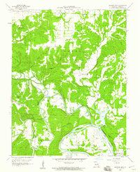
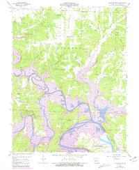
Editions of this 1959 Shawnee Bend Map
3 editions found
Other maps of this area

1887 · Clinton
USGS Topo · 1:125,000

1887 · Warsaw
USGS Topo · 1:125,000

1894 · Warsaw
USGS Topo · 1:125,000

1894 · Clinton
USGS Topo · 1:125,000

1935 · Dell
USGS Topo · 1:24,000

1936 · Shawnee Bend
USGS Topo · 1:24,000

1936 · Schuyler
USGS Topo · 1:24,000

1941 · Valhalla
USGS Topo · 1:24,000

1945 · Fristoe
USGS Topo · 1:62,500
1945 · Valhalla
USGS Topo · 1:24,000