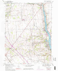
1967 Map of Shawnee Hills
USGS Topo · Published 1984About this map
O'Shaughnessy Reservoir dominates the eastern edge of this landscape, its waters contained by the O'Shaughnessy Dam. The surrounding terrain reflects a transitional period for Union and Delaware Counties, where traditional farmsteads along roads like Hinton Road and Brown Road meet the growing residential footprint of Shawnee Hills. Settlement patterns are anchored by several small communities, including New California at the junction of Route 42, Jerome, and Watkins.
Find a feature on this map
52 named features on this map. Tap any name to fly to it.
Don’t see what you’re looking for? This feature index may not catch every label — zoom into the map to look around manually.
Map Details
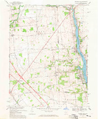
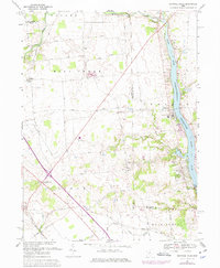
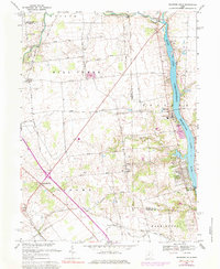
Editions of this 1967 Shawnee Hills Map
4 editions found
Other maps of this area

1901 · Dublin
USGS Topo · 1:62,500

1903 · Dublin
USGS Topo · 1:62,500

1913 · Richwood
USGS Topo · 1:62,500

1915 · Richwood
USGS Topo · 1:62,500

1916 · Milford Center
USGS Topo · 1:62,500

1924 · Delaware
USGS Topo · 1:62,500

1925 · Delaware
USGS Topo · 1:62,500

1944 · Richwood
USGS Topo · 1:62,500

1944 · Milford Center
USGS Topo · 1:62,500

1944 · Delaware
USGS Topo · 1:62,500