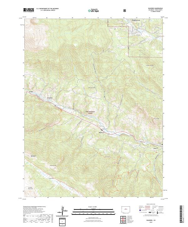
2022 Map of Shawnee
USGS Topo · Published 2022About this map
The North Fork South Platte River carves a central corridor through this portion of the Pike National Forest, defining the settlement pattern of communities like Shawnee and Glenisle. This survey illustrates the relationship between the river valley and the surrounding high country, where drainages such as Slaughterhouse Gulch and Snaking Road Gulch descend from peaks like Derringer Peak and Crooked Top Mtn.
Find a feature on this map
55 named features on this map. Tap any name to fly to it.
Don’t see what you’re looking for? This feature index may not catch every label — zoom into the map to look around manually.
Map Details
Editions of this 2022 Shawnee Map
This is the sole edition of this map. No revisions or reprints were ever made.
Other maps of this area

1893 · Platte Canyon
USGS Topo · 1:125,000

1899 · West Denver
USGS Topo · 1:125,000

1903 · Georgetown
USGS Topo · 1:62,500

1905 · Georgetown
USGS Topo · 1:62,500

1945 · Bailey
USGS Topo · 1:24,000

1945 · Shawnee
USGS Topo · 1:24,000

1945 · Mount Logan
USGS Topo · 1:24,000

1948 · Mount Logan
USGS Topo · 1:24,000

1948 · Shawnee
USGS Topo · 1:24,000

1949 · Bailey
USGS Topo · 1:24,000