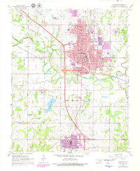
1967 Map of Shawnee
USGS Topo · Published 1979About this map
Shawnee and Tecumseh anchor this 1970s record of Pottawatomie County, where the north-south expansion of residential and industrial areas is visible in purple revision shading. The landscape is defined by the North Canadian River and its tributaries, including Squirrel Creek and Rock Creek. Educational and civic life is well-documented through prominent campuses like St Gregory College and Oklahoma Baptist University, alongside numerous neighborhood schools such as Woodrow Wilson Sch and Franklin Sch.
Find a feature on this map
60 named features on this map. Tap any name to fly to it.
Don’t see what you’re looking for? This feature index may not catch every label — zoom into the map to look around manually.
Map Details
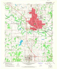
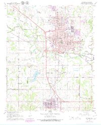
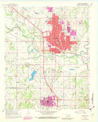
Editions of this 1967 Shawnee Map
4 editions found
Other maps of this area

1896 · Seminole and Prague
USGS Topo · 1:125,000

1898 · Purcell
USGS Topo · 1:125,000

1907 · Maud
USGS Topo · 1:62,500

1908 · Maud
USGS Topo · 1:62,500

1909 · Shawnee
USGS Topo · 1:62,500

1910 · McComb
USGS Topo · 1:62,500

1930 · McLoud
USGS Topo · 1:62,500

1954 · Oklahoma City
USGS Topo · 1:250,000

1957 · Oklahoma City
USGS Topo · 1:250,000

1963 · Oklahoma City
USGS Topo · 1:250,000