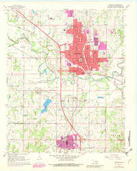
1967 Map of Shawnee
USGS Topo · Published 1982About this map
Oklahoma Baptist University anchors the northern edge of this Oklahoma landscape, a region defined by the convergence of major rail lines and the meandering North Canadian River. The map captures a period of urban expansion in the 1960s and 1970s, as indicated by purple revisions showing new residential growth extending beyond the older corporate boundaries of Shawnee. To the south, the Shawnee Indian Sanatorium and Mission Hill Hospital represent significant institutional presence near the Tecumseh corporate boundary.
Find a feature on this map
71 named features on this map. Tap any name to fly to it.
Don’t see what you’re looking for? This feature index may not catch every label — zoom into the map to look around manually.
Map Details
Editions of this 1967 Shawnee Map
4 editions found
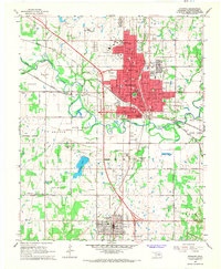
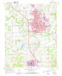
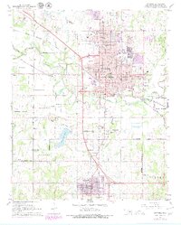
Other maps of this area

1896 · Seminole and Prague
USGS Topo · 1:125,000

1898 · Purcell
USGS Topo · 1:125,000

1907 · Maud
USGS Topo · 1:62,500

1908 · Maud
USGS Topo · 1:62,500

1909 · Shawnee
USGS Topo · 1:62,500

1910 · McComb
USGS Topo · 1:62,500

1930 · McLoud
USGS Topo · 1:62,500

1954 · Oklahoma City
USGS Topo · 1:250,000

1957 · Oklahoma City
USGS Topo · 1:250,000

1963 · Oklahoma City
USGS Topo · 1:250,000