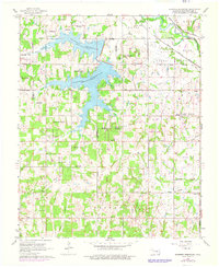
1966 Map of Shawnee Reservoir
USGS Topo · Published 1976About this map
The Shawnee Reservoir dominates the landscape of western Pottawatomie County, reaching northward toward the North Canadian River valley and the town of Mc Loud. This mid-1960s perspective, later updated in the 1970s, reveals a rural network of small communities and family landmarks, including the settlements of Bethel Acres and Pink. The mapping detail captures the social and religious centers of the time, such as Blackburn Chapel and Bethel Ch, alongside small rural burial grounds like Ray Cem and Black Cem. Along the northern edge, the heavy infrastructure of the Chicago Rock Island and Pacific and the Atchison Topeka and Santa Fe railroads define the transportation corridor bypassing the reservoir. Evidence of early energy development appears via scattered Oil Wells and a Gas Well near the Brinton area.
Find a feature on this map
36 named features on this map. Tap any name to fly to it.
Don’t see what you’re looking for? This feature index may not catch every label — zoom into the map to look around manually.
Map Details
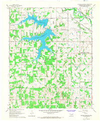
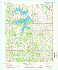
Editions of this 1966 Shawnee Reservoir Map
3 editions found
Other maps of this area

1896 · Seminole and Prague
USGS Topo · 1:125,000

1898 · Purcell
USGS Topo · 1:125,000

1907 · Maud
USGS Topo · 1:62,500

1908 · Maud
USGS Topo · 1:62,500

1909 · Shawnee
USGS Topo · 1:62,500

1910 · McComb
USGS Topo · 1:62,500

1930 · McLoud
USGS Topo · 1:62,500

1954 · Oklahoma City
USGS Topo · 1:250,000

1956 · Harrah
USGS Topo · 1:24,000
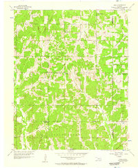
1956 · Stella
USGS Topo · 1:24,000