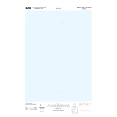
2013 Map of Sheboygan South OE S
USGS Topo · Published 2013About this map
Lake Michigan dominates the entirety of this offshore hydrographic study, representing a singular expanse of open water along the Wisconsin shoreline in Sheboygan County. Published by the U.S. Geological Survey in 2013, this specific quadrangle focuses on the nautical environment just south of Sheboygan, where the depth and surface of the Great Lake are the primary subjects. The map provides a precise geodetic record of the lake's position relative to the North American Datum of 1983, capturing the character of this maritime boundary at a fixed point in time. It serves as a specialized artifact for those studying the coastal waters and lakebed transitions of the Holland region.
Find a feature on this map
1 named feature on this map. Tap any name to fly to it.
Don’t see what you’re looking for? This feature index may not catch every label — zoom into the map to look around manually.
Map Details
Editions of this 2013 Sheboygan South OE S Map
This is the sole edition of this map. No revisions or reprints were ever made.
Other maps of this area

1892 · Port Washington
USGS Topo · 1:62,500

1904 · Port Washington
USGS Topo · 1:62,500

1954 · Sheboygan Falls
USGS Topo · 1:62,500

1954 · Sheboygan South
USGS Topo · 1:62,500

1954 · Sheboygan Falls
USGS Topo · 1:24,000

1954 · Sheboygan South
USGS Topo · 1:24,000

1954 · Milwaukee
USGS Topo · 1:250,000

1958 · Milwaukee
USGS Topo · 1:250,000
1958 · Port Washington East
USGS Topo · 1:24,000
1959 · Port Washington
USGS Topo · 1:62,500