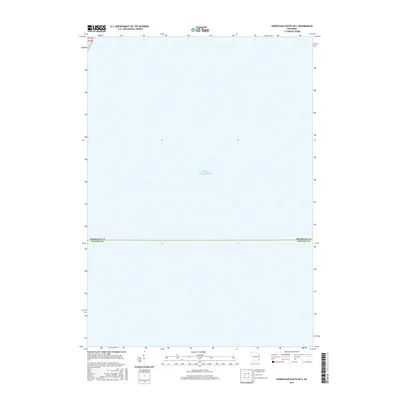
2016 Map of Sheboygan South OE S
USGS Topo · Published 2016About this map
Lake Michigan dominates the landscape of this 2016 survey, which documents a purely maritime section of the western shoreline. The sheet captures the critical administrative boundary where Sheboygan Co meets Ozaukee Co in the open waters of the lake. This specific perspective provides a rare, focused view of the aquatic border and township divisions, such as t13n r23e 4, without the interference of terrestrial development. The survey, produced by the U.S. Geological Survey using imagery from the Naip, serves as a precise record of these jurisdictional lines as they existed in the mid-2010s.
Find a feature on this map
3 named features on this map. Tap any name to fly to it.
Don’t see what you’re looking for? This feature index may not catch every label — zoom into the map to look around manually.
Map Details
Editions of this 2016 Sheboygan South OE S Map
This is the sole edition of this map. No revisions or reprints were ever made.
Other maps of this area

1892 · Port Washington
USGS Topo · 1:62,500

1904 · Port Washington
USGS Topo · 1:62,500

1954 · Sheboygan Falls
USGS Topo · 1:62,500

1954 · Sheboygan South
USGS Topo · 1:62,500

1954 · Sheboygan Falls
USGS Topo · 1:24,000

1954 · Sheboygan South
USGS Topo · 1:24,000

1954 · Milwaukee
USGS Topo · 1:250,000

1958 · Milwaukee
USGS Topo · 1:250,000
1958 · Port Washington East
USGS Topo · 1:24,000
1959 · Port Washington
USGS Topo · 1:62,500