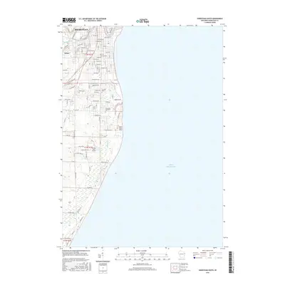
2016 Map of Sheboygan South
USGS Topo · Published 2016About this map
Sheboygan and the neighboring village of Kohler anchor the northern reaches of this coastal survey, where the Sheboygan River winds toward its outlet at Lake Michigan. The map illustrates the suburban expansion southward into the townships of T15N R23E and T14N R23E, showing a dense street grid that transitions into more dispersed developments and wetlands. Along the shoreline, Black River Point stands out near the mouth of the Black River, marking a distinctive shift in the coastal terrain.
Find a feature on this map
63 named features on this map. Tap any name to fly to it.
Don’t see what you’re looking for? This feature index may not catch every label — zoom into the map to look around manually.
Map Details
Editions of this 2016 Sheboygan South Map
This is the sole edition of this map. No revisions or reprints were ever made.
Other maps of this area

1954 · Sheboygan Falls
USGS Topo · 1:62,500

1954 · Sheboygan South
USGS Topo · 1:62,500

1954 · Sheboygan Falls
USGS Topo · 1:24,000

1954 · Sheboygan North
USGS Topo · 1:62,500

1954 · Sheboygan North
USGS Topo · 1:24,000

1954 · Sheboygan South
USGS Topo · 1:24,000

1954 · Howards Grove
USGS Topo · 1:62,500

1954 · Howards Grove
USGS Topo · 1:24,000

1954 · Milwaukee
USGS Topo · 1:250,000

1958 · Milwaukee
USGS Topo · 1:250,000