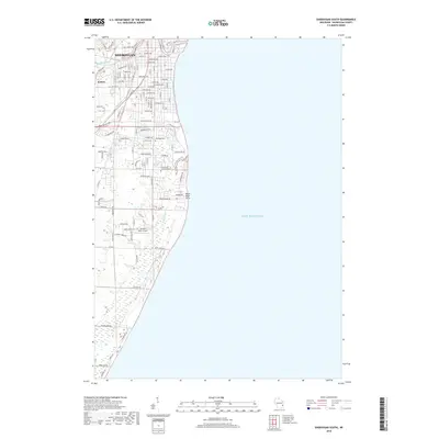
2018 Map of Sheboygan South
USGS Topo · Published 2018About this map
Sheboygan and the neighboring village of Kohler anchor the northern reach of this lakeshore map, where the Sheboygan River winds toward its outlet at Lake Michigan. The transition from urban streets to wooded coastal terrain is evident as one travels south along the shore. Near the city limits, several established landmarks are visible, including the Southside Cem and Immaculate Conception Cem.
Find a feature on this map
50 named features on this map. Tap any name to fly to it.
Don’t see what you’re looking for? This feature index may not catch every label — zoom into the map to look around manually.
Map Details
Editions of this 2018 Sheboygan South Map
This is the sole edition of this map. No revisions or reprints were ever made.
Other maps of this area

1954 · Sheboygan Falls
USGS Topo · 1:62,500

1954 · Sheboygan South
USGS Topo · 1:62,500

1954 · Sheboygan Falls
USGS Topo · 1:24,000

1954 · Sheboygan North
USGS Topo · 1:62,500

1954 · Sheboygan North
USGS Topo · 1:24,000

1954 · Sheboygan South
USGS Topo · 1:24,000

1954 · Howards Grove
USGS Topo · 1:62,500

1954 · Howards Grove
USGS Topo · 1:24,000

1954 · Milwaukee
USGS Topo · 1:250,000

1958 · Milwaukee
USGS Topo · 1:250,000